About
Who are we?
'KaspianNavTel' company was founded in 2007. It is the first local and national company in our country to implement GPS navigation systems, vehicle monitoring, and satellite control systems based on the detailed electronic map of the Republic of Azerbaijan. Our company is a leading technology company offering high-quality solutions in various technology and innovation fields. Starting from the sale and installation of GPS navigation devices, we provide services ranging from satellite, aero, and drone services to geographic information systems (GIS) and geodesy, topography, navigation, and bathymetry works. Additionally, we support the digital transformation of various sectors through smart solutions, digital twins, SCADA systems, and SCADA/GIS integration. We provide advanced solutions in artificial intelligence and machine learning, enhancing our clients' operations through cybersecurity, robotics, and automation for safer and more efficient processes. Our company is also specialized in augmented reality applications, mobile apps, and the creation of information portals. We provide innovative solutions in the production of plastic embossed maps, area models, and marine navigation charts. Alongside geophysics and geological exploration, we offer comprehensive support to our clients with professional training and technical services.

-
Our Mission
By providing our customers with the latest technology and modern solutions at affordable prices, we offer high-quality GPS navigation, vehicle monitoring, satellite control systems, mapping, information, and automation services, supporting the safe, efficient, and digital management of their operations.
-
Our Vision
As a reliable solution provider on a national and international scale, to be a leading company applying advanced technology and innovation with a wide range of services, from geographic information technologies to artificial intelligence.
Connected device
Projects
Customers
Staff member
Partners


Our Services
GPS-Navigation
GPS Navigation Systems are used to determine the location and movement direction of moving objects (car, ship, airplane, etc.).
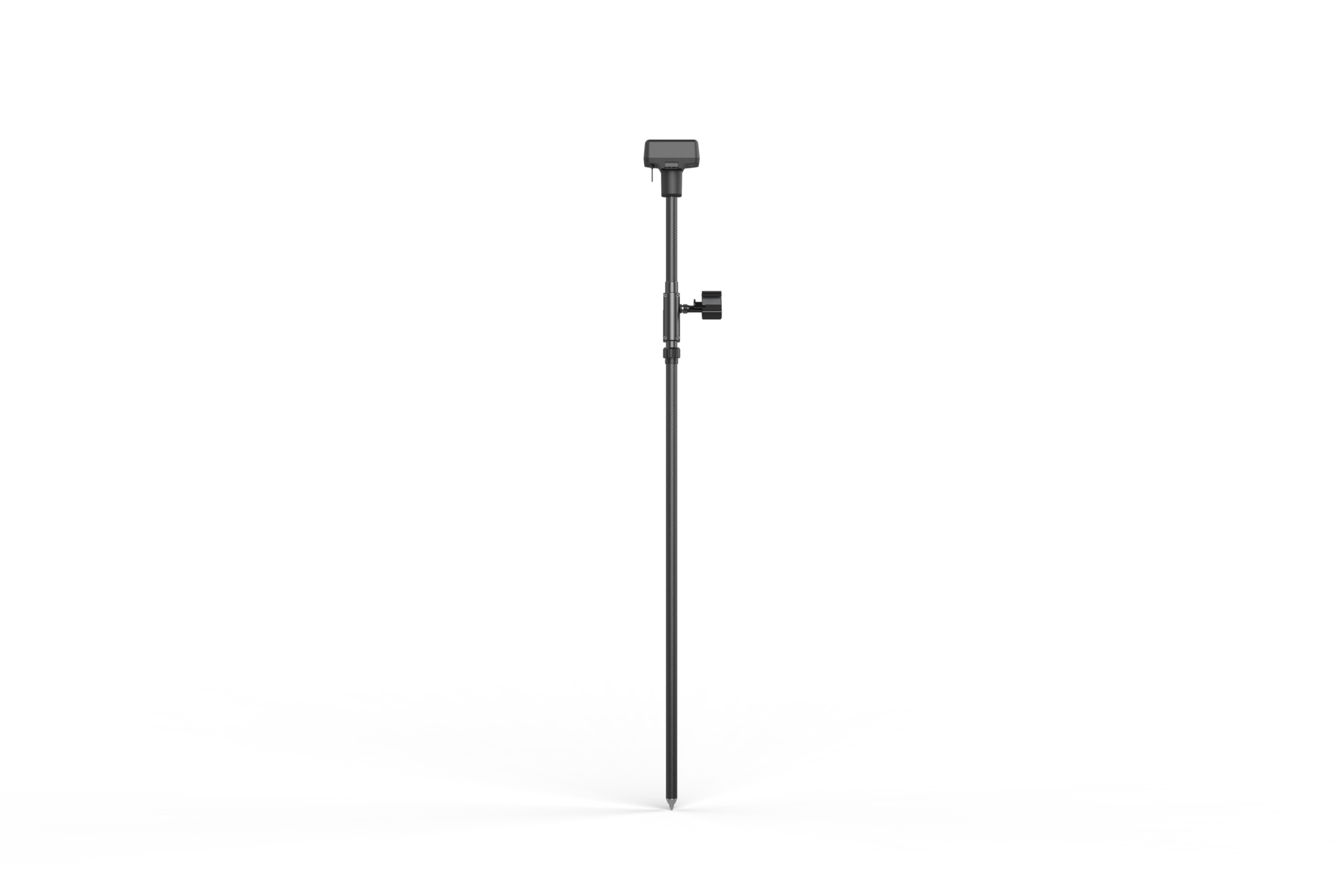
Geodesy and Topography Service
Geodesy and Topography services specialize in accurate measurement of areas, mapping the Earth's surface, and collecting geographical data.
Cartography Service
Cartography services encompass the process of collecting, analyzing, and visualizing geographical data.
Photogrammetry Service
Photogrammetry services involve creating 3D models and photogrammetric maps of an area by using images obtained from satellites, UAVs, drones, or other high-precision cameras.
Navigation and Bathymetry service
Navigation and bathymetry services are essential for mapping seas, lakes, rivers, and other water bodies, as well as for determining safe navigation routes.
Environmental Monitoring / Assessment
Environmental monitoring and assessment is the process of tracking factors affecting the environment and analyzing their potential impacts
Smart Solutions / Digital Twins
Smart solutions and digital twins are technologies that enable more efficient management and optimization of real-world objects and processes through the integration of modern technologies.
Information Technologies (IT)
Information Technology (IT) encompasses technological systems and solutions that utilize computer technologies and networks for the collection, storage, transmission, and management of data.
Geographic Information Systems (GIS)
Geographic Information Systems (GIS) are computer-based technologies used for the collection, management, analysis, and visualization of geographic data.
Geology-exploration
Geology-exploration service involves conducting geological surveys to study the structure of the Earth, its mineral resources, and natural reserves for exploration and discovery purposes.
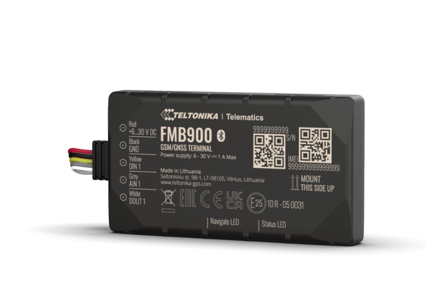
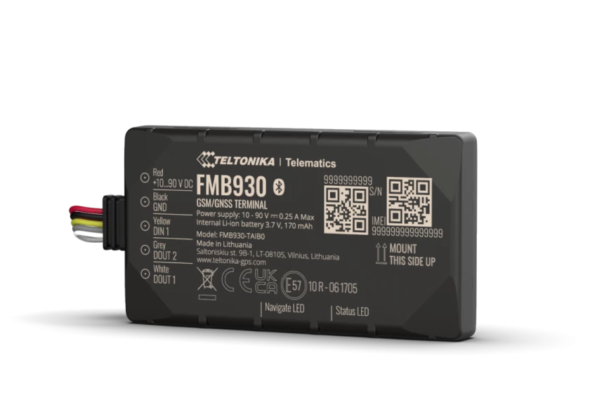
Automonitoring and satellite control system
Satellite monitoring and tracking systems are multifunctional intelligent systems that enable remote control of the operations of vehicles, special equipment, other moving objects, and personnel.
Remote Sensing Service
Remote Sensing services primarily involve monitoring natural resources and conducting area analysis through images, spectral data, and other analyses obtained via satellite, aircraft, UAV, or drone.
LiDAR / Mobile Mapping
LiDAR (Light Detection and Ranging) and Mobile Mapping technologies are advanced methods used for the precise collection and analysis of spatial data.
Trainings
The training service offers professional training programs that help clients enhance their knowledge and skills in specific areas.
Technical Service
The technical service is a professional support provided to ensure the proper functioning of equipment and systems, enhance their durability, and eliminate potential malfunctions.
Equipment
- All
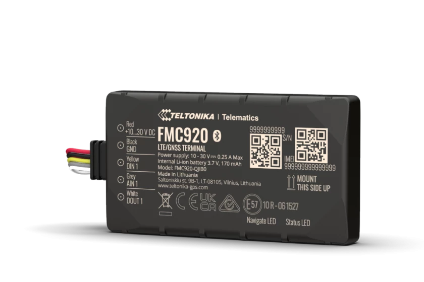
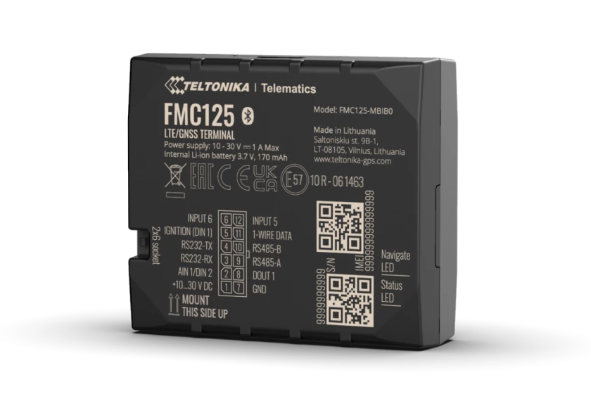
- 2G Equipment
- 4G Equipment
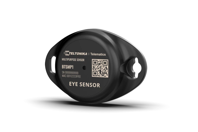
- Sensors
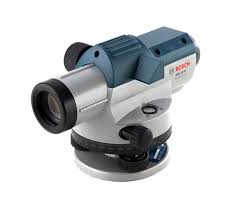
- Topography Equipment
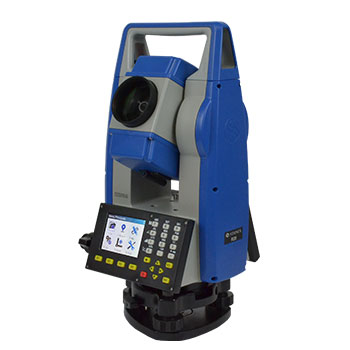
R20 Total Station
The onboard programs of these total station models make them suitable for any work in construction, cadastral, mapping, and staking, through a user-friendly interface. Thanks to the presence of a Bluetooth connection, it is possible to connect an external controller, enabling the use of customized field software.
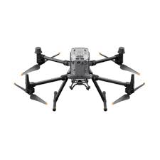
Matrice 350 RTK
An upgraded flagship drone platform, the Matrice 350 RTK sets a new benchmark for the industry. This next-generation drone platform features an all-new video transmission system and control experience, a more efficient battery system, and more comprehensive safety features, as well as robust payload and expansion capabilities. It is fully powered to inject innovative strength into any aerial operation.
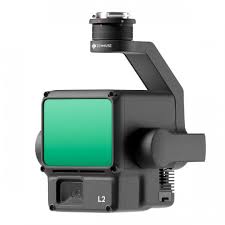
Zenmuse L1
The Zenmuse L1 integrates a Livox Lidar module, a high-accuracy IMU, and a camera with a 1-inch CMOS on a 3-axis stabilized gimbal. When used with the Matrice 300 RTK and DJI Terra, the L1 forms a complete solution that provides real-time 3D data throughout the day, efficiently capturing the details of complex structures and delivering highly accurate reconstructed models.

Frequently asked questions
How do GPS navigation devices work?
GPS navigation devices work by receiving signals from satellites orbiting the Earth to accurately determine your location and suggest the shortest route. These devices help you find directions and make travel easier.
What are vehicle tracking systems?
Vehicle tracking systems are technologies used to monitor the movement of vehicles in real time. Through this system, you can track driver behavior, locate vehicles, and manage fleets more efficiently.
How can I track vehicles using GPS systems?
Caspiannavtel provides advanced systems that allow you to track your vehicles in real-time via GPS. You can monitor the location of your vehicles on a map. To start tracking, simply install the GPS device and connect to the system. For more information and support, please contact us.
How is the security of my GPS data ensured?
Caspiannavtel uses modern encryption and security protocols to ensure the safety of customer data. All GPS data is securely stored and is only accessible to authorized individuals. For more information about our security measures, feel free to contact us.
Contact
Address
Ələsgər Qayıbov küçəsi 12, məhəllə 1222 Bakı,Azərbaycan
Contact Us
+994 55 212 03 35